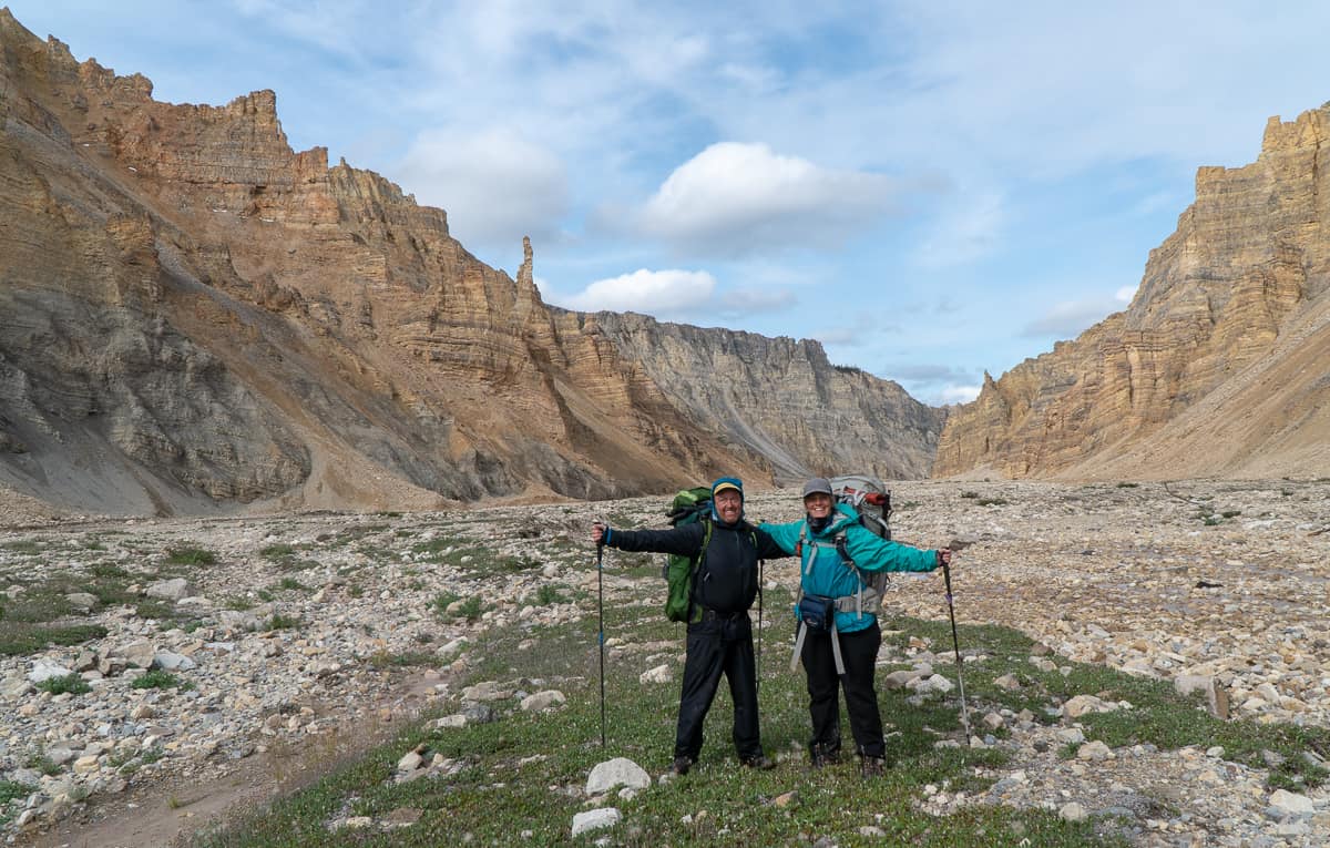
When Karyn said yes to hiking with us on the Canol Heritage Trail in northern Canada we were pretty surprised. After all, we do have a nasty habit of doing crazy things (like paddling the Horton, hiking Baffin Island, cycling 3500 kms on our first ever bike tour, or bungee jumping in Africa). It was an honour to have her join us and put her misguided trust in our skills.
We asked Karyn to share her perspective of the hike as we thought this might be relate-able to a wider audience than what we could provide alone.
Karyn's Experience
In August 2019, my friends Matt, Heather and I backpacked the Canol Trail, NWT (Logistics Info Here). The Canol Trail follows the route of the Canol Road which was built by the Americans during WWII while building a pipeline from Norman Wells to Whitehorse. When the war ended, the project was abruptly abandoned – leaving buildings and vehicles as they were. The Canol is rated as one of Canada's most challenging hikes and we think a whopping 7 people did the hike in 2019 (including us).
")
A truck graveyard
The trail runs from the airstrip at Mile 222 in the NWT to the Mackenzie River at Norman Wells. We anticipated the 222 miles/357 kilometers hike would take us 24 days including a couple of rest days.
")
A section of trail in great shape.
I had heard of the Canol Trail years ago when Matt gave me a book on it. I read it and returned it with a strong "hell no". People were drowning in the rivers, getting menaced by bears, getting rescued due to severe feet problems – not for me.
About 18 months ago, it came up again in conversation - at a pub. I actually can't remember why it seemed like a good idea. I think there was talk of a cable ferry now over the worst river crossing (Matt denies this). All I know is two beers later, we were in!
(Heather here: they did install the cable but it was only operational for one year, it seems the river, elements and terrain are too much for any thing to remain on the banks of the Twitya for very long)
There's a lot of logistics to doing a trail like the Canol - even getting to the start at Mile 222 requires planning –it's in the middle of nowhere. Fortunately for me, I was travelling with logistic experts (Matt and Heather are seasoned long-distance backpackers who guided in Alaska) and my logistics contribution was that I agreed with their every suggestion and sent them money when they asked for it.
")
Sorting and Repacking with all the new food and gear for leg two of the trip.
I had done some short distance backpacks (3-5 days) but never anything like this where we were going to be totally on our own. I was panicking a little so Matt & Heather came over and went over my backpack item by item.
As for training, I had run two 50 km trail ultras earlier that year and several times walked to work with a loaded backpack and hiking boots (and was called a "phoney" by some stranger). I was ready-ish!
50% excited/ 50% scared
")
On top of the plains of Abraham - the rainbow almost made up for the cold wind and rain.
The Adventure Begins
On July 30, we flew to Whitehorse, Yukon. We spent the next day getting our last minute items: fresh veggies, and bear spray. On August 1, we boarded a chartered plane to take us to the trail head. I had never flown in a small plane before and had the front seat to amazing views. We stopped at Canol Outfitters to leave our food drop buckets and then on the trail head.
")
View of the mountains from the air.
It was kind of surreal when the plane took off and we were left standing on the trail.The trail started off great – nice road to walk on, decent weather – it's all good. However, that was just so "she" (yep, the trail was a "she") could lure us in.
As we went along, the weather options were: rain/about to rain/just finished raining. The trail got progressively harder to find -thank god Matt and Heather are excellent route finders – I would have been lost on day 2's daily trail disappearance.
")
The bridge doesn't cross the river anymore so we had to find the best way across and then figure out where the trail was on the other side.
Between the mountains and the rivers washing away the road bed, the trail had taken a beating and I think she was seeking revenge. That trail put the "whack" in bushwhacking. I said to Heather that I would like just one day where I wasn't going to get whipped in the face - repeatedly. Our hands were hamburger from forcing our way through the brush.
")
Bear Scat.. we saw MANY bigger piles than this one!
I was a bit nervous about seeing so much bear sign – until we did the first big river crossing. Then I was no longer scared of bears – it was the rivers that were going to kill me.
We had purchased pack rafts and collapsible paddles for the 4 main crossings – 3 rivers and a lake.
The Twitya River, our first crossing of the 4, was wider and faster than I expected. With wind. We tied our packs to the rafts and sent out Matt to test the waters. The first part was a bit too shallow for the rafts so we would walk across that part towing our rafts. The wind immediately overturned my raft.
")
Our first crossing - the Twitya River and this was only half of it. Karyn's face says it all: I would rather be anywhere other than here"
Fortunately the pack- while in the river- was still tied to the raft but I was having trouble holding on to the raft and pack in the strong current. We ended up crossing with me grasping Matt's hand with a death grip and dragging my raft and pack behind me. (Matt couldn't feel his hand for a while.) We were able to uneventfully paddle the next section but the die was cast – rivers were not my friends.
(Heather here again: Karyn has left out that she did the remaining crossings like a pro - watching her was like watching an experienced kayaker - just one that was holding on to the paddle REALLY REALLY tight).
Speaking of water, let's talk about feet for a minute. Between the creeks, streams, rivers and swamps, our feet were perpetually wet. Our boots and socks never dried out. Ah yes, the joys of putting on COLD, WET socks and sliding them into COLD, WET boots.
Every. Single. Morning.
")
There were so many creek crossings that it was just easier to keep your boats on and walk through them.
The noises we made putting on our boots were always good for a laugh. Noises only equaled by those we made putting on our packs. Which we named - not suitable names for a public blog - they all had a 4 letter words in them.
")
Hiking in the snow the day after our third river crossing. I am pretty sure there was some whining happening!
And then the rain turned to snow. I was not prepared (or happy). According to everything we had read or been told, the weather should have been 8-10º C warmer. I was varying degrees of cold throughout the majority of the hike and I had by far the warmest sleeping bag – which Heather coveted. If Heather had to save me or my sleeping bag – I think it would have been a toss-up.
(Heather here: It is likely I would have saved Karyn - she always had her pack on and her sleeping bag was in the pack... two for the price of one)
")
Which way do we go?
We'd heard the last few days of the hike were swampy. Pshaw – swampy. With what we'd been through, we weren't worried about some puddles. We should have known better – the Canol wasn't done with us.
")
You plow straight through it of course - except we would always send Matt first so he could test the depth for us.
As if 100-meter-long-mid-thigh-deep swamps weren't enough – let's throw in some beaver dams. Those waters were really deep so we would very precariously walk on top of the dam. Yep, walking on top of a beaver dam is a real leap of faith that this particular rodent was a good builder.
We reached Norman Wells in 22 days as opposed to 24 as it was too wet/cold to take rest days. While happy to see the Wells, I think everyone was a bit sad that this adventure was really over.
")
Picking our way over the large boulders in Dodo Canyon
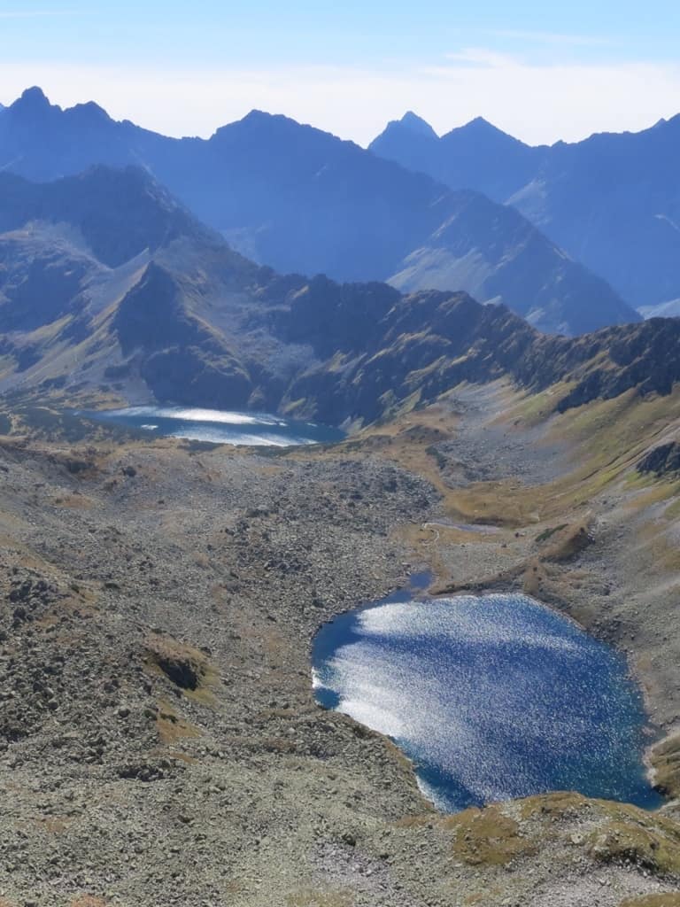
For all my whining about the Canol (and bouts of river-induced terror), I would be remiss not to say that the Canol is crazy beautiful.
I loved the alone-ness.
I loved the freedom to camp wherever we wanted.
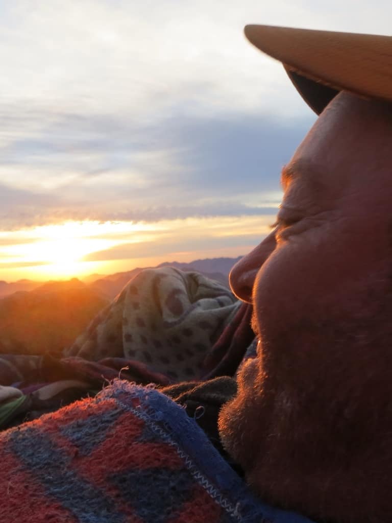
I loved our strictly-measured-cap-fuls of rye in the evenings (Fireball was reserved for special occasions).
I even loved "The Canol kicked our asses yesterday – what's she going to throw at us today" spirit.
I loved that I still loved hanging with Matt & Heather as much at the end as in the beginning – if not more.
Was this trail too hardcore for me? Yes indeedy. Would I do it again? Not at gunpoint.
That being said - I can't wait to do another long-distance something with Matt & Heather – just, you know, somewhere warmer. And drier. And less river-y.
")
After our last river crossing we enjoyed our final capful of Fireball together
Heather here again. 22 days spent in a remote wilderness teaches you a lot about yourself and your companions. We learned that Karyn is as tough as nails and we wouldn't hesitate to join her on her next adventure. It was such a cool experience watching her conquer the challenges the trail threw at us, and her ability to find humour in the sometimes ridiculous conditions. Our trip was made better by having her along.
Who wants to join us on our next adventure?!

Like this post? Pin it to read it later